01Web Application, Mobile Application
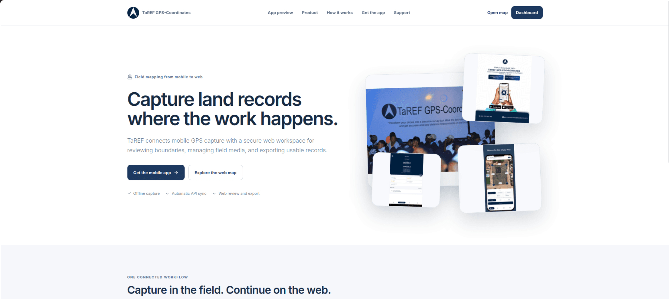
TaREF GPS-Coordinates
TaREF GPS-Coordinates is a GIS application web and mobile application that helps land surveyors and field teams capture, map, and manage geographic data. Users can record points, draw polylines and polygons, measure distances and areas, and view coordinates in WGS84 and UTM formats. The Mobile app also supports offline map caching, navigation to saved locations, geotagged photos and videos, and synchronization with a web platform.
- Flutter
- Riverpod
- REST APIs
- React
- Laravel